The Old Gorge Highway is still closed between Bridal Veil and Ainsworth due the aftermath of the Eagle Creek fire. It’s been a heartbreaking 9 months since the fire started. Parenthetically, a small part of the fire re-ignted earlier this month. It’s not out yet. The deep places can smolder for a long time. Multnomah Falls is open, and they opened the Pacific Crest Trail near Cascade Locks last week.
The HCRH has been the lifeblood of my photography since the mid 1990’s. It’s been my little roller coaster in the Gorge, depending on how bad my brakes were. Many times, I started at the Corbett exit, and stopped at the Portland, Women’s Forum viewpoint. From there, I hit Latourell, Sheppard’s Dell, Bridal Veil, Wahkeena, Multnomah, and Horsetail before turning back toward Portland. I didn’t understand at the time that the HCRH doesn’t end at Ainsworth.
Sections of the highway still exist, and are open to car traffic all the way to Biggs Junction. I’m not talking about the ones opened up recently for bike traffic. A section continues from Ainsworth to the John B. Yeon Trailhead. From there, it mostly doesn’t exist apart from short stretches going through Cascade Locks and Hood River. Starting at Mosier, however, it opens back up in earnest., and continues through The Dalles, and on to Biggs Junction. From Biggs, you can drive East for a short way before a line of gravel blocks the roadway. At one time, you could drive to Pendleton on that road.
It was only when I “discovered” Mosier about 10 years ago that I started to drive up to Rowena Crest. A few years after that, I learned that it was actually a segment of the HCRH. There are no tall waterfalls on this stretch. There are, however, views as stunning as there are farther west. Rowena Crest is one of those. Dry Creek Canyon is another. A little farther west is the Memaloose Overlook, and a short walk from there you can see the Columbia River’s Mosier Gap (called the “Bingen Gap” by most people other than me, apparently) with its synclines, anticlines, and the Coyote Wall on the Washington side (you can see it from the overlook, but I like the view better from a few hundred feet west).
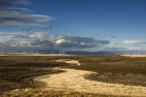
It’s the dry side of the Columbia Gorge beyond Hood River, so the vegetation changes. Oregon White Oaks are the dominant tree, and the hills become grassy, and less rugged. After June, the grasses turn golden, and the creeks run low, or even dry. Below is the view from Rowena Crest.
Camera and Technical data:
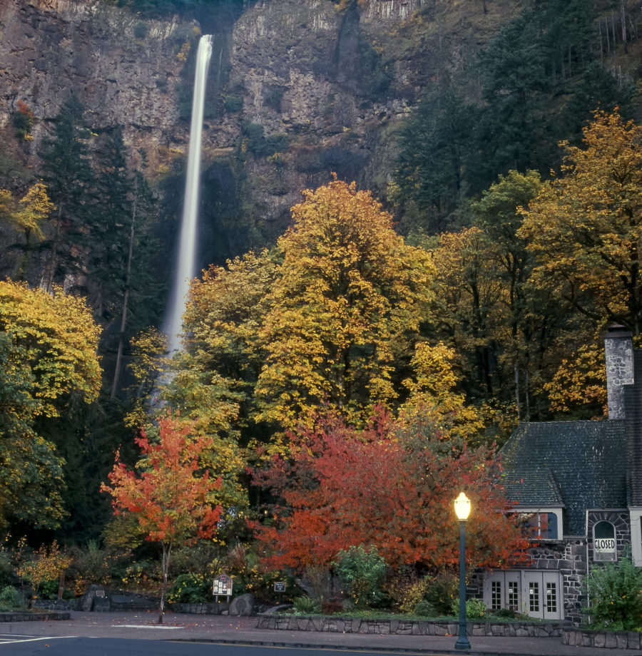
Multnomah Falls and Lodge, Autumn 1999:
Camera: Hasselblad 500CM
Lens: 50mm Carl Zeiss
Film: Kodak E100VS.
Rowena Crest, June 2016
Camera: Hasselblad 500CM
Lens: 50mm Carl Zeiss
Film: Kodak Protra 160.
The Columbia Gorge from Crown Point
Camera: Nikon D810
Lens: 24-85mm Nikon
Copyright © 2025 All rights reserved


