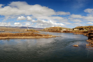
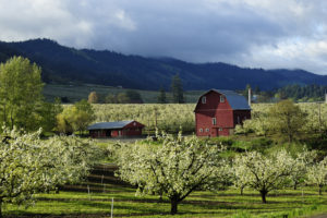
As many of you know, I have concentrated on Oregon’s dry side for quite a while, preferring the dusty farming areas like Wasco and Sherman Counties to the mossy, drenched rainforests west of the Cascades. Having moved back to the Portland area in 2019, the trips out to parts yonder east have become fewer, mostly due to the pandemic, but also because it’s harder to be in a car for that long these days. so, I am exploring places closer to home.
One such place is from whence the wet, wooly, and wild streams slosh down from on high: Mount Hood. Oregon’s highest peak sports a snow cap, and occasionally a cloud cap, and seems mostly set in its ways of no nonsense and not pulling a Mt Saint Helens. But, don’t let it fool you. Mount Hood is part of the Pacific Ring of Fire. Its belly is hot, and on the move. It rumbles, and lets off steam now and then, and will one day blow its top. But, for now, it remains a monolithic beauty.

Allow me to expound on my relationship with mountains for a bit. I grew up in northern Appalachia, specifically in Pennsylvania. The Appalachian Mountains are some of the oldest mountains in the world, so old that they were part of the great continent of Pangea before the continents got a tectonic divorce. In other word, they are freakin’ old – A half a billion years, to be almost exact. At one time, they were as tall as the rockies, or even the Alps. Now, of course, they seem like bumps in comparison. Erosion does that. I grew up among those hills, and nary a glacier did I ever see.
I lived in between the Appalachian, and Blue Ridge Mountains. I could walk to the top of all of them without much effort if there was a path to follow. Without glaciers, there were few waterfalls, few mountain streams, and not much skiing. An interesting aside: If you look at a road map of Pennsylvania, you can see how they skirt the mountains northeast to southwest through the center of the state, and shoot through the river gaps northwest to southeast.
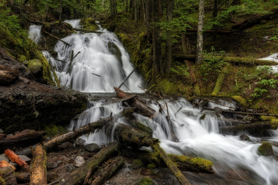
Returning to the subject at hand, Mount Hood’s glaciers are always on the move. Even in the winter, some ice is melting, so the creeks and rivers run year round. The western slopes of Oregon’s tallest peak are lush with mossy, lichen crusted trees, both standing and fallen, ferns, and muddy creeks. It is the latter that I wish to feature.
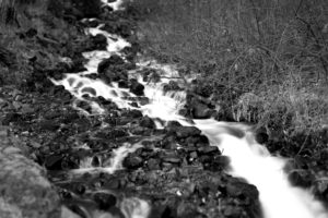
I have not explored much of the Mount Hood Wilderness to this date. I am only just beginning. I have occasionally waded into the cold waters coming from Mount Hood over the years, but I never gave it the attention that I gave to the Columbia Gorge. I took the picture below in 2000 while my dog was trying to pull me and the tripod over. When printed, the water looks like you can reach into it.

The water in the streams coming from Mount Hood is clear for most of the year. In the Spring, when the ice is melting faster, the waters run gray with eroded rock. The mountain is getting a very slow haircut by ice and time.


The journey is beginning. I hope to bring back more pictures from the area soon, including some large format film images.
Thanks for looking!
Gary L. Quay
Technical Data
Featured Image
Little Zigzag Falls, January 2021
Camera: Nikon D810
Lens: 28mm Zeiss Distagon ZF2
Mount Hood, Oregon, June 2018
Camera: Nikon D810
Lens: 28-105mm Nikon D
Mossy Morning on the Zigzag
Camera: Hasselblad 500 CM
Lens: 80mm Carl Zeiss
Film: Fuji Velvia
Little Zigzag Creek, January 2021
Camera: Nikon D810
Lens: 28mm Zeiss Distagon ZF2
Little Joe Creek, January 2012
Camera: Nikon D810
Lens: 28mm Zeiss Distagon ZF2
Little Zigzag Creek, January 2021 # 2
Camera: Nikon D810
Lens: 28mm Zeiss Distagon ZF2


